Site Description
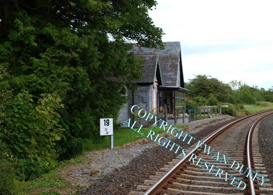
Approaching the station, the Ardsollus River is crossed. There was just one platform on the Up side at this former station that closed in 1963. The former station building - now a private residence - is behind the site of this. There was a siding at the Limerick end of thePhotographs
Photo Gallery - Ardsollus & Quin Station
Google Street View - Ardsollus & Quin Station
Links
Chronological Details
| Opened | Closed | Company | Name | Notes |
|---|---|---|---|---|
| 17/01/1859 | 14/06/1963 | L&ER | Ardsollus & Quin |
Geographical Details
| Section Start | Section Finish | Distance | Units | Milepost | Measured from |
|---|---|---|---|---|---|
| Limerick | Athenry | 19.73 | Miles | 19.75 | Limerick Station |